Monte Beiro Viewpoint
Monte Beiro Viewpoint
Address
36647 Valga, Pontevedra
GPS coordinates
Longitude: 42.6918170532244
Latitude: -8.688305344220671
Although it is not very high up, at a height of around 140 metres, its strategic location enables us to enjoy a spectacular panoramic view of the mouth of the Ulla River, where its waters flow into the Ría de Arousa. From here we can contemplate a good part of the surrounding landscape, featuring the Barbanza mountains and the Oleirón, Meda and Xesteiras hills.
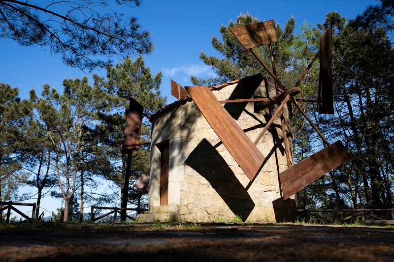
In this area of pines featuring small routes and picnic areas, there is an old, restored windmill. It reflects the importance of this type of construction in Valga’s economy, being an example of the traditional use of renewable energy sources.
TOURIST OFFICE OF
Valga


